Module 1 Action Items for BOWKER CREEK Survey # 112
| Stream Name | Survey Date | Organization | Project Name | Survey ID | Data Entered By |
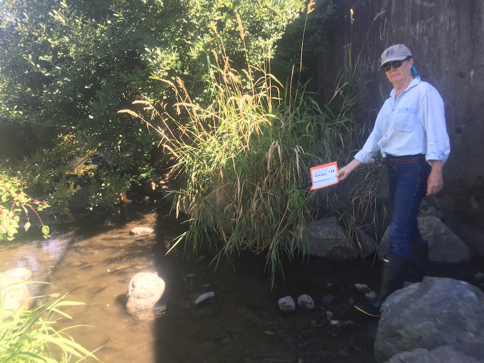
| BOWKER CREEK | 2020-08-27 | Friends of Bowker Creek | Bowker Creek Salmon | 112 | Stormy Kirkland |
 |
ID 1562 |
Feature # 1 |
From Last 0 |
Type Enhancement-Riparian Planting, LWD, Spawning Gravel |
Size 136m - entire length of section 3.5 |
Bank Left |
Adjacent Land Use Commercial |
| Description: Stream bank restoration/resloping and replanting |
|||||||
| Action Items: native plants are being invaded by invasive species, streambank vegetation does not shade the creek sufficiently. Action: Plant native trees ad remove |
|||||||
 |
ID 1563 |
Feature # 2 |
From Last 0 |
Type Modification-Other |
Size 3.5m height, length entire section of 3.5-136m |
Bank Right |
Adjacent Land Use Commercial |
| Description: Concrete wall, vertical |
|||||||
| Action Items: |
|||||||
 |
ID 1564 |
Feature # 3 |
From Last 0 |
Type Modification-Other |
Size 2.1m across, 18.2m long |
Bank Right |
Adjacent Land Use Commercial |
| Description: Concrete lip extending 2.1m from wall across stream as flat concrete streambed ends at 18.2m long. |
|||||||
| Action Items: absence of spawning benthic habitat; a key problem for the ecosystem. Action: reduce with concrete streambed |
|||||||
 |
ID 1565 |
Feature # 4 |
From Last 1.1m |
Type Discharge Pipe-Tile Drain |
Size .1m diamete, 0.25m drop to substrate, 3.1m upstrea |
Bank Right |
Adjacent Land Use Commercial |
| Description: Draintile |
|||||||
| Action Items: |
|||||||
 |
ID 1566 |
Feature # 5 |
From Last 3.2 |
Type Discharge Pipe-Tile Drain |
Size diameter: 0.1m, Height: 0.25m drop to substrate |
Bank Right |
Adjacent Land Use Commercial |
| Description: |
|||||||
| Action Items: |
|||||||
 |
ID 1567 |
Feature # 6 |
From Last 0 |
Type Enhancement-Boulder Cluster |
Size length 1.7m, width 1.3m 0.6m3 each |
Bank Left |
Adjacent Land Use Commercial |
| Description: |
|||||||
| Action Items: |
|||||||
|
|
ID 1568 |
Feature # 7 |
From Last 2.9 |
Type Discharge Pipe-Tile Drain |
Size 0.1m diameter, 0.25m above substate. |
Bank Right |
Adjacent Land Use Commercial |
| Description: |
|||||||
| Action Items: |
|||||||
|
|
ID 1569 |
Feature # 8 |
From Last 2m |
Type Enhancement-Boulder Cluster |
Size length 0.8m, width 0.8m |
Bank Right |
Adjacent Land Use Commercial |
| Description: length 0.8m, width 0.8m 0.5m3 each |
|||||||
| Action Items: |
|||||||
|
|
ID 1570 |
Feature # 9 |
From Last 1.4m |
Type Discharge Pipe-Tile Drain |
Size 0.1m diameter, 0.25m above substate. |
Bank Right |
Adjacent Land Use Commercial |
| Description: |
|||||||
| Action Items: draintiles are approximately .3m apart. *** will not be listed as further features unless any change occurs*** |
|||||||
|
|
ID 1571 |
Feature # 10 |
From Last 3.2m |
Type Enhancement-Boulder Cluster |
Size length 0.8m, width 0.8m |
Bank Right |
Adjacent Land Use Commercial |
| Description: |
|||||||
| Action Items: |
|||||||
 |
ID 1572 |
Feature # 11 |
From Last 1.5m |
Type Modification-Other |
Size length 20.5m width 4.2m |
Bank Right |
Adjacent Land Use Commercial |
| Description: Constructed enhancement *** what kind of enhancement is this? Embankment? |
|||||||
| Action Items: Very good enhancement - pushes stream beyond the edge of the concrete lip for natural bottom stream |
|||||||
|
|
ID 1573 |
Feature # 12 (11a) |
From Last 3.2m above start of 11 |
Type Discharge Pipe-Storm Drain |
Size .15m diameter, 1.3m drop to substrate |
Bank Right |
Adjacent Land Use Commercial |
| Description: This feature is actually named as feature #11a |
|||||||
| Action Items: |
|||||||
|
|
ID 1574 |
Feature # 12 |
From Last 17.3m above feature 11 |
Type Modification-Other |
Size 23.1m long |
Bank Right |
Adjacent Land Use Commercial |
| Description: Vertical rock wall same dimensions as feature #2 with same concrete lip |
|||||||
| Action Items: |
|||||||
|
|
ID 1575 |
Feature # 13 |
From Last 0 |
Type Modification-Other |
Size 2.1m from wall across stream/18.2m long |
Bank Right |
Adjacent Land Use Commercial |
| Description: Concrete lip same as feature 3 |
|||||||
| Action Items: |
|||||||
|
|
ID 1576 |
Feature # 14 |
From Last 0.9m |
Type Enhancement-Boulder Cluster |
Size length 0.8m, width 0.8m |
Bank Right |
Adjacent Land Use Commercial |
| Description: rock cluster, same as before. |
|||||||
| Action Items: |
|||||||
 |
ID 1577 |
Feature # 15 |
From Last 9.8m |
Type Discharge Pipe-Storm Drain |
Size .35m diameter, .5m drop to substrate |
Bank Left |
Adjacent Land Use Commercial |
| Description: |
|||||||
| Action Items: |
|||||||
|
|
ID 1578 |
Feature # 16 |
From Last 13.4m |
Type Modification-Other |
Size length 28.7m, width 5.8m |
Bank Right |
Adjacent Land Use Commercial |
| Description: Constructed embankment |
|||||||
| Action Items: |
|||||||
 |
ID 1579 |
Feature # 17 |
From Last 14.9m |
Type Modification-Other |
Size n/a |
Bank Both |
Adjacent Land Use Undisturbed |
| Description: ***BENCHMARK - marked by aluminum discs nailed onto the sidewalk on left bank and tree trunk on right bank. |
|||||||
| Action Items: |
|||||||
|
|
ID 1580 |
Feature # 18 |
From Last 13.8m |
Type Modification-Other |
Size 13.4m long |
Bank Right |
Adjacent Land Use Commercial |
| Description: Vertical concrete wall same as feature. 12 |
|||||||
| Action Items: |
|||||||
|
|
ID 1581 |
Feature # 19 |
From Last 0 |
Type Modification-Other |
Size 13.4m long |
Bank Both |
Adjacent Land Use Commercial |
| Description: Concrete lip, same as feature 13. |
|||||||
| Action Items: |
|||||||
 |
ID 1582 |
Feature # 20 |
From Last 4.6m |
Type Discharge Pipe-Storm Drain |
Size .35m width, .5m drop to substrate |
Bank Right |
Adjacent Land Use Commercial |
| Description: |
|||||||
| Action Items: dirty effluent with long brown plume down creek |
|||||||
|
|
ID 1583 |
Feature # 21 |
From Last 8.8m |
Type Modification-Other |
Size 18.4m long, 3.4m wide |
Bank Right |
Adjacent Land Use Commercial |
| Description: Constructed embankment same as previous |
|||||||
| Action Items: |
|||||||
|
|
ID 1584 |
Feature # 22 |
From Last 18.4m |
Type Modification-Other |
Size refer to previous concrete wall |
Bank Right |
Adjacent Land Use Commercial |
| Description: Concrete wall same as previous |
|||||||
| Action Items: |
|||||||
|
|
ID 1585 |
Feature # 23 |
From Last 0 |
Type Modification-Other |
Size |
Bank Right |
Adjacent Land Use Commercial |
| Description: Concrete lip same as previous |
|||||||
| Action Items: |
|||||||
|
|
ID 1586 |
Feature # 24 |
From Last 15.6m |
Type Discharge Pipe-Storm Drain |
Size .15m diameter, 1.1m drop to substrate |
Bank Right |
Adjacent Land Use Commercial |
| Description: |
|||||||
| Action Items: |
|||||||
|
|
ID 1587 |
Feature # 25 *** Not a feature/end of section |
From Last 0 |
Type Modification-Bridge |
Size |
Bank Across |
Adjacent Land Use Undisturbed |
| Description: Footbridge marking end of section 3.5 |
|||||||
| Action Items: |
|||||||
Records 1 to 26 of 26