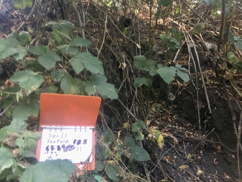
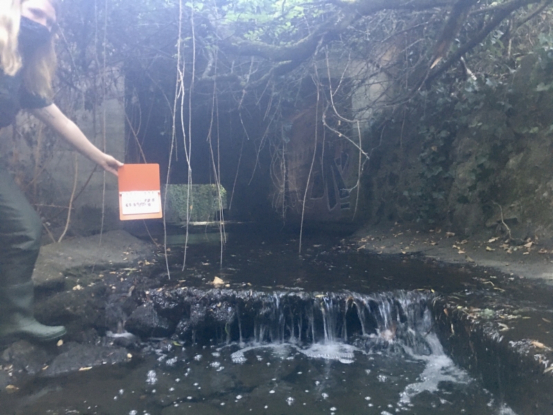
 |
ID
1335 |
Feature #
1 |
From Last
0 |
Type
Modification-Other |
Size
height: 1+ m Length: 80 m |
Bank
Left |
Adjacent Land Use
Residential |
Description:
Vertical concrete and rock wall confines entire length of Sec 1.1 from mouth of stream to Beach Drive |
Action Items:
lack of natural riparian vegetation. Mixture of lawn and non-native landscaping |
|
 |
ID
1336 |
Feature #
2 |
From Last
0 |
Type
Modification-Other |
Size
height: 1+ m Length: 70.7 m |
Bank
Right |
Adjacent Land Use
Residential |
Description:
Wall of concrete and rock, mostly vertical, confining stream as a narrow channel for almost all of Sec 1.1 |
Action Items:
Lack of riparian vegetation - mostly lawn and non-native landscaping |
|
 |
ID
1337 |
Feature #
3 |
From Last
0.4 m |
Type
Discharge Pipe-Storm Drain |
Size
4 cm |
Bank
Right |
Adjacent Land Use
Residential |
Description:
Drop to concrete substrate: 0.1 m. A drain from an apartment block property. |
Action Items:
|
|
 |
ID
1338 |
Feature #
4 |
From Last
0.8 |
Type
Discharge Pipe-Storm Drain |
Size
45 cm |
Bank
Right |
Adjacent Land Use
Residential |
Description:
Drop to concrete substrate: 0.45 m. A drain from an apartment block property |
Action Items:
|
|
 |
ID
1341 |
Feature #
5 |
From Last
0.5m |
Type
Discharge Pipe-Storm Drain |
Size
10 cm diameter, 1.1m above rock |
Bank
Left |
Adjacent Land Use
Residential |
Description:
|
Action Items:
|
|
 |
ID
1342 |
Feature #
6 |
From Last
22.5m |
Type
WATERBODY-Tributary, wetland, ditch, other |
Size
|
Bank
Across |
Adjacent Land Use
Undisturbed |
Description:
upper limit of tidal influence. note*** feature is 24.2m above start of Section 1.1 |
Action Items:
|
|
 |
ID
1343 |
Feature #
7 |
From Last
7m |
Type
LACK OF RIPARIAN VEGETATION |
Size
15.5 m length |
Bank
Left |
Adjacent Land Use
Residential |
Description:
3 Golden Willows - root mat, large trees, roots obstructing stream channel |
Action Items:
Covers stream substrate - 2/3 of channel width |
|
 |
ID
1344 |
Feature #
8 |
From Last
17.5m |
Type
Discharge Pipe-Storm Drain |
Size
10cm diameter, 0.7m to concrete |
Bank
Right |
Adjacent Land Use
Residential |
Description:
|
Action Items:
|
|
 |
ID
1345 |
Feature #
9 |
From Last
22m |
Type
Bank Erosion |
Size
11.8m width, 2.5m height |
Bank
Right |
Adjacent Land Use
Undisturbed |
Description:
eroding bank, 100% slope |
Action Items:
Erosion also related to turbulence from Beach Dr. Culvret |
|
 |
ID
1346 |
Feature #
10 |
From Last
3.2m |
Type
Discharge Pipe-Storm Drain |
Size
10cm diameter, 1.85m drop to substrate |
Bank
Right |
Adjacent Land Use
Residential |
Description:
Rock substate, no flow. |
Action Items:
|
|
 |
ID
1347 |
Feature #
11 |
From Last
3.8m |
Type
Bank Erosion |
Size
10cm diameter |
Bank
Right |
Adjacent Land Use
Undisturbed |
Description:
Could be draining from road. 0.7m drop to substrate eroding bank. No flow. |
Action Items:
causing significant erosion of bank |
|
 |
ID
1348 |
Feature #
12 |
From Last
1.7m |
Type
Obstruction-Culvert |
Size
21.6m height, 2.2m width |
Bank
Across |
Adjacent Land Use
Residential |
Description:
Lip of culvert to substrate 0.4mrnWater depth 0.19mrnWidth 21.6m rnHeight is 2.2m rnWidth 3.0mrnTurbidity >28cm rn55.2m above start of section |
Action Items:
Possible obstruction for fish, likely passible at high water levels.rn |
|
 |
ID
1349 |
Feature #
13 |
From Last
7.7m |
Type
Discharge Pipe-Storm Drain |
Size
0.2m diameter, 1.4m from cement |
Bank
Both |
Adjacent Land Use
Undisturbed |
Description:
2 storm drains rnInside culvert from street rn0.2m diameter rn1.4m from cementrnNo flow |
Action Items:
|
|
 |
ID
1350 |
Feature #
14 |
From Last
11.2 |
Type
Discharge Pipe-Storm Drain |
Size
0.2m diameter |
Bank
Right |
Adjacent Land Use
Undisturbed |
Description:
2 drainsrn0m from concrete substaternNo flow |
Action Items:
|
|