Module 1 Action Items for MCDONALD CREEK-Jervi Survey # 124
| Stream Name |
Survey Date |
Organization |
Project Name |
Survey ID |
Data Entered By |
| MCDONALD CREEK-Jervi |
2024-08-01 |
Howe Sound Biosphere Region Initiative Society |
Knowing our Fish Cre |
124 |
Joseph |
 |
ID
1705 |
Feature #
2 |
From Last
0 |
Type
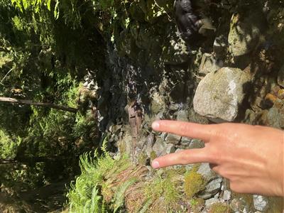
Enhancement-Log/Rock weir, Fishway |
Size
|
Bank
Left |
Adjacent Land Use
Parks |
Description:
Notched log weir across bankfull width, restoration structure for step pool creation. Length 0.6m, width 3.3m, height 0.2m, pool depth at base 13cmrnr |
Action Items:
|
|
 |
ID
1706 |
Feature #
3 |
From Last
15 |
Type
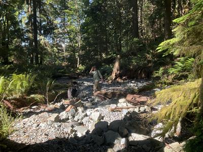
SIDE CHANNEL |
Size
|
Bank
Right |
Adjacent Land Use
Parks |
Description:
inaccurately mapped side channel, flow subsurface, bankfull width 4.6m. Continues to estuary, potential habitat in higher flows |
Action Items:
|
|
 |
ID
1707 |
Feature #
4 |
From Last
8 |
Type
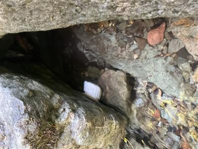
Modification-Other |
Size
|
Bank
Left |
Adjacent Land Use
Undisturbed |
Description:
Hobo Tidbit Temperature logger Site MACD01. See HSBRIS / DFO CoSMo project dataset. |
Action Items:
|
|
 |
ID
1708 |
Feature #
5 |
From Last
6.5 |
Type
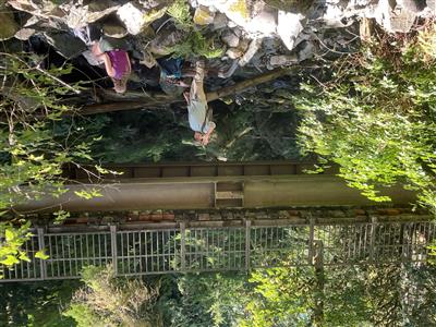
Modification-Bridge |
Size
Length = 3.5m, width = 22m, height = 4.5m, depth o |
Bank
Across |
Adjacent Land Use
Undisturbed |
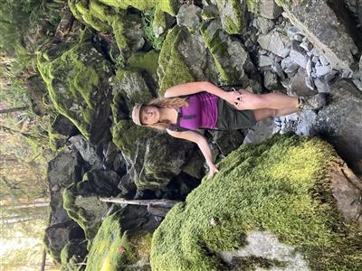
Description:
|
Action Items:
|
|
 |
ID
1709 |
Feature #
4 |
From Last
|
Type
Obstruction-Falls, Cascade, Canyon |
Size
|
Bank
Both |
Adjacent Land Use
Parks |
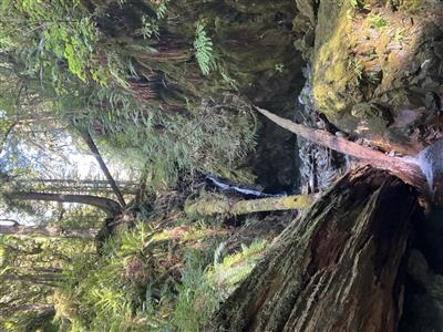
Description:
Series of cascades, slope of 35 percent, mostly dry. Continues for approximately 20m stream length. |
Action Items:
|
|
 |
ID
1710 |
Feature #
7 |
From Last
51 from top of last cascade |
Type
Bank Erosion |
Size
|
Bank
Across |
Adjacent Land Use
Parks |
Description:
Canyon. Slope becomes steep again, frequent bedrock cascades, frequent slopes of 35 percent, continues for 240m, one significant vertical waterfall ov |
Action Items:
|
|
Records 1 to 6 of 6


