 |
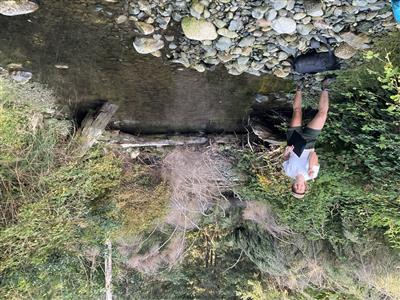
ID
1711 |
Feature #
1 |
From Last
|
Type
Enhancement-Log/Rock weir, Fishway |
Size
Length 35cm, width 4m, height from surface of wate |
Bank
Across |
Adjacent Land Use
Undisturbed |
Description:
Log weir, previous restoration works |
Action Items:
|
|
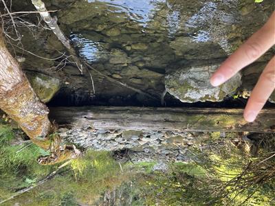 |
ID
1712 |
Feature #
2 |
From Last
77 |
Type
Enhancement-Log/Rock weir, Fishway |
Size
length 55cm, width 7.5m, height 90cm, depth 20cm |
Bank
Across |
Adjacent Land Use
Residential |
Description:
|
Action Items:
Adjacent roads, previous forestry, development in progress |
|
 |
ID
1713 |
Feature #
3 |
From Last
4.5 |
Type
Modification-Bridge |
Size
length 3.8m, width 27m, height 5.2m, depth of pool |
Bank
Across |
Adjacent Land Use
Residential |
Description:
|
Action Items:
previous forestry, residential development underway |
|
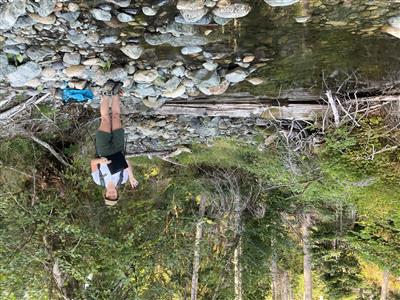 |
ID
1714 |
Feature #
4 |
From Last
33 |
Type
Enhancement-Log/Rock weir, Fishway |
Size
Length 60m, width 7.5m, height 35cm, depth of pool |
Bank
Across |
Adjacent Land Use
Forestry |
Description:
Log weir, undercut but not fully eroded. landscape cloth emerging from substrate |
Action Items:
|
|
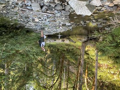 |
ID
1715 |
Feature #
5 |
From Last
40 |
Type
Enhancement-Log/Rock weir, Fishway |
Size
length 65cm, width 7.5m, depth 75cm, height above |
Bank
Across |
Adjacent Land Use
Forestry |
Description:
Log weir |
Action Items:
|
|
 |
ID
1716 |
Feature #
6 |
From Last
158 |
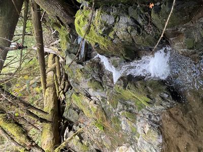
Type
Obstruction-Falls, Cascade, Canyon |
Size
300m |
Bank
Left |
Adjacent Land Use
Forestry |
Description:
Beginning of transition to bedrock canyon, cascades. Increase in gradient, several vertical drops of up to 2m, slopes of up to 12 degrees. Some signif |
Action Items:
Barrier to anadromous fish passage |
|


