 |
ID
1255 |
Feature #
5 |
From Last
12 |
Type
Bank Erosion |
Size
3.2 m |
Bank
Left |
Adjacent Land Use
Parks |
Description:
Undercut 3.2 m long x 0.2 m deep. |
Action Items:
Beaver slide and two fallen logs also present. Small fish observed. |
|
 |
ID
1256 |
Feature #
6 |
From Last
43 |
Type
Bank Erosion |
Size
17.2 m |
Bank
Right |
Adjacent Land Use
Parks |
Description:
Large slump 17.2 m long x 7.9 m wide. Extensive, deep cracking evident in surface materials. |
Action Items:
Log in water |
|
 |
ID
1257 |
Feature #
7 |
From Last
34 |
Type
GARBAGE |
Size
|
Bank
Right |
Adjacent Land Use
Parks |
Description:
Pop cans, coffee cups present. Appears to be a well-frequented area (path present). |
Action Items:
|
|
 |
ID
1258 |
Feature #
8 |
From Last
23 |
Type
Bank Erosion |
Size
|
Bank
Right |
Adjacent Land Use
Parks |
Description:
Large slump, exposed trees roots. Too large to measure effectively. |
Action Items:
|
|
 |
ID
1259 |
Feature #
9 |
From Last
25 |
Type
Obstruction-Beaver Dam |
Size
6 m |
Bank
Across |
Adjacent Land Use
Parks |
Description:
Beaver dam 6 m x 1 m wide x 0.5 m high |
Action Items:
|
|
 |
ID
1260 |
Feature #
10 |
From Last
23 |
Type
Modification-Other |
Size
|
Bank
Right |
Adjacent Land Use
Parks |
Description:
Beaver slide |
Action Items:
Log in water |
|
 |
ID
1261 |
Feature #
11 |
From Last
10 |
Type
GARBAGE |
Size
|
Bank
Right |
Adjacent Land Use
Parks |
Description:
Plywood piece |
Action Items:
|
|
 |
ID
1262 |
Feature #
12 |
From Last
49.5 |
Type
SIDE CHANNEL |
Size
|
Bank
Left |
Adjacent Land Use
Parks |
Description:
Gully from runoff south of Kin Park bowl (north side of creek). Channel currently dry. Recent beaver activity evident. |
Action Items:
|
|
 |
ID
1263 |
Feature #
13 |
From Last
17 |
Type
Obstruction-Beaver Dam |
Size
4.5 m |
Bank
Across |
Adjacent Land Use
Parks |
Description:
Blown out beaver dam. 4.5 m long x 0.4 m wide x 0.4 m high. Downstream water depth = 0.22 m |
Action Items:
|
|
 |
ID
1264 |
Feature #
14 |
From Last
23 |
Type
WATERBODY-Tributary, wetland, ditch, other |
Size
|
Bank
Mid-stream |
Adjacent Land Use
Parks |
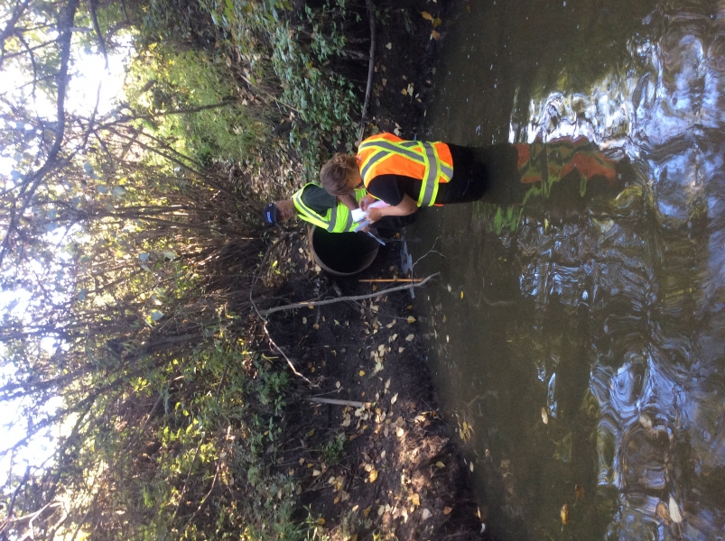
Description:
Deep pool 1.2 m deep. Potential overwintering habitat. |
Action Items:
|
|
 |
ID
1265 |
Feature #
15 |
From Last
15 |
Type
Discharge Pipe-Storm Drain |
Size
|
Bank
Right |
Adjacent Land Use
Parks |
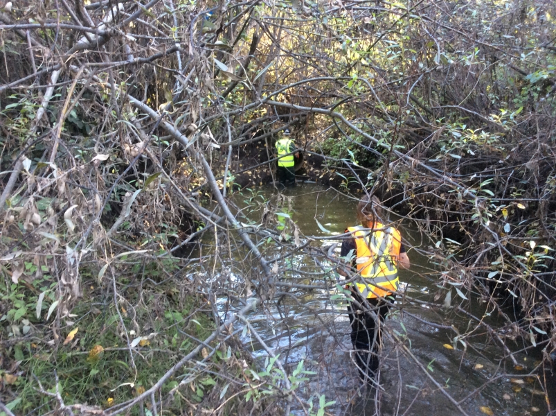
Description:
|
Action Items:
Colder water and cold air coming out of pipe. Drains parking lot by tennis courts area south of creek. |
|
 |
ID
1266 |
Feature #
16 |
From Last
28 |
Type
SIDE CHANNEL |
Size
0.7 m |
Bank
Right |
Adjacent Land Use
Parks |
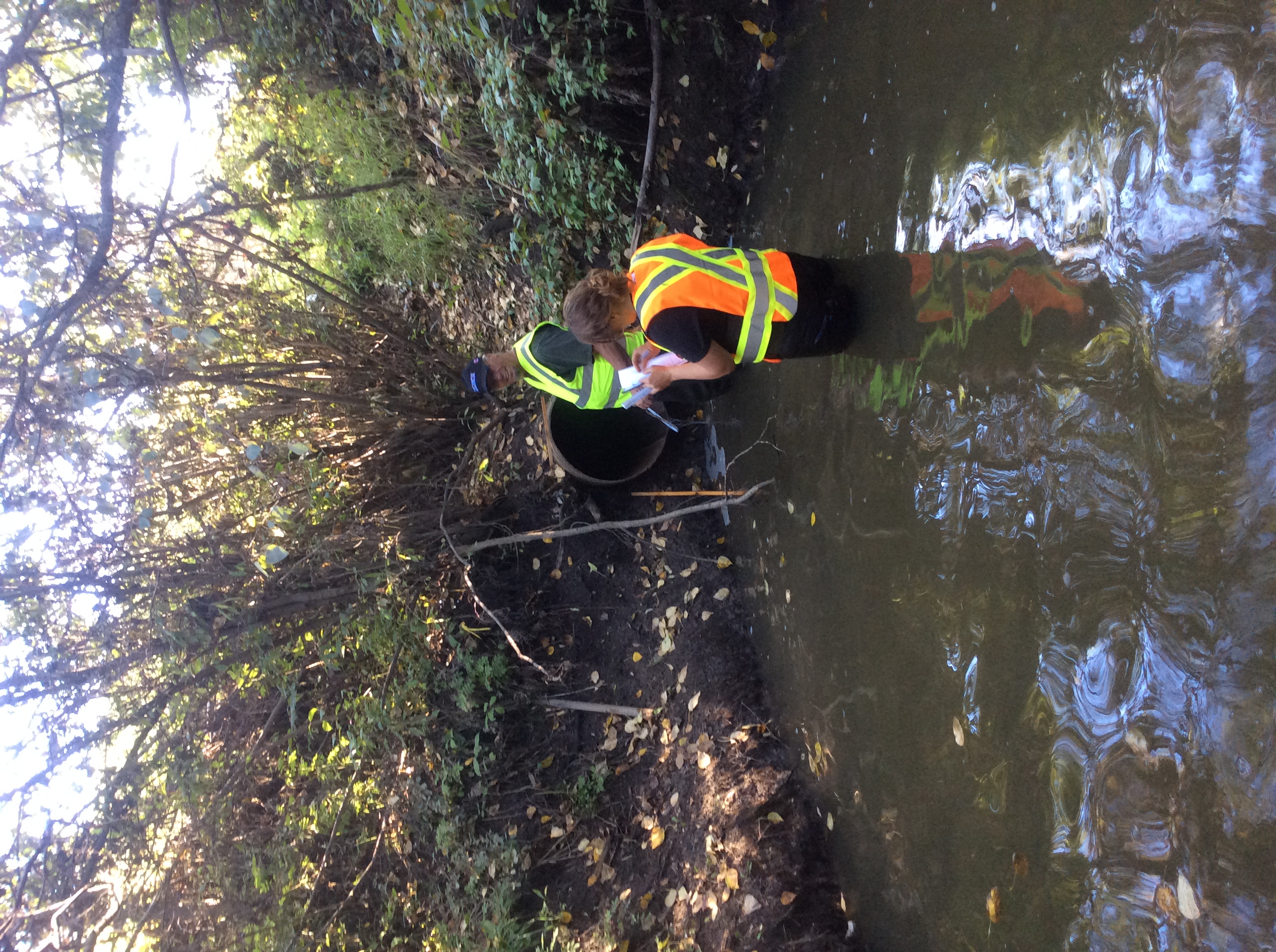
Description:
0.70 m deep, 0.48 m to pipe bottom, depth of water 0.26 m |
Action Items:
|
|
 |
ID
1267 |
Feature #
17 |
From Last
33 |
Type
Bank Erosion |
Size
2 m |
Bank
Right |
Adjacent Land Use
Parks |
Description:
Undercut 2 m long x 0.46 m deep x 90 degree slope. Evidence of muskrat. |
Action Items:
Canada thistle, milk thistle and cariganas on right bank and some on left bank |
|
 |
ID
1268 |
Feature #
18 |
From Last
35 |
Type
WATERBODY-Tributary, wetland, ditch, other |
Size
|
Bank
Mid-stream |
Adjacent Land Use
Parks |
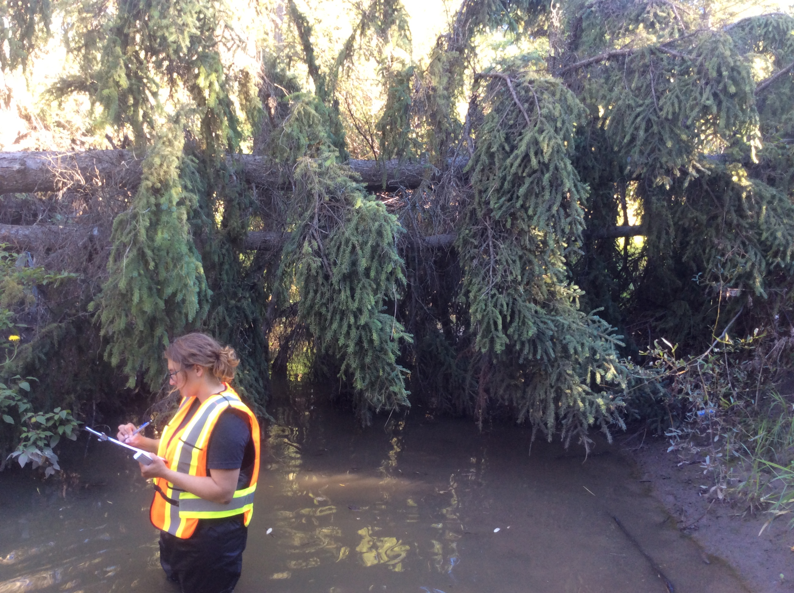
Description:
Deep pool 1.4 m deep. Potential overwintering fish habitat. Some woody debris present, lots of willow, young pine, some cottonwoods with dead tops. |
Action Items:
|
|
 |
ID
1269 |
Feature #
19 |
From Last
10 |
Type
Obstruction-Log Jam |
Size
|
Bank
Across |
Adjacent Land Use
Parks |
Description:
Two downed spruce across creek, not blocking flow |
Action Items:
|
|
 |
ID
1270 |
Feature #
20 |
From Last
24 |
Type
Bank Erosion |
Size
2 m |
Bank
Right |
Adjacent Land Use
Parks |
Description:
Undercut bank. 2 m long x 0.40 m deep with 90 degree slope |
Action Items:
|
|
 |
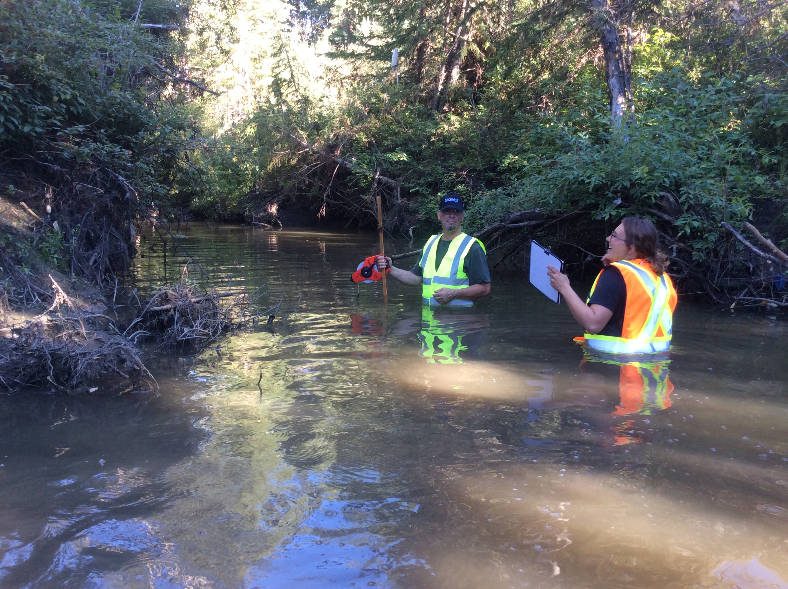
ID
1271 |
Feature #
21 |
From Last
19 |
Type
Obstruction-Beaver Dam |
Size
3.8 m |
Bank
Across |
Adjacent Land Use
Parks |
Description:
Beaver dam 3.8 m long x 0.5 m wide x 0.28 m high. Depth of water = 0.23 m at base. |
Action Items:
|
|
 |
ID
1272 |
Feature #
22 |
From Last
30 |
Type
WATERBODY-Tributary, wetland, ditch, other |
Size
|
Bank
Mid-stream |
Adjacent Land Use
Parks |
Description:
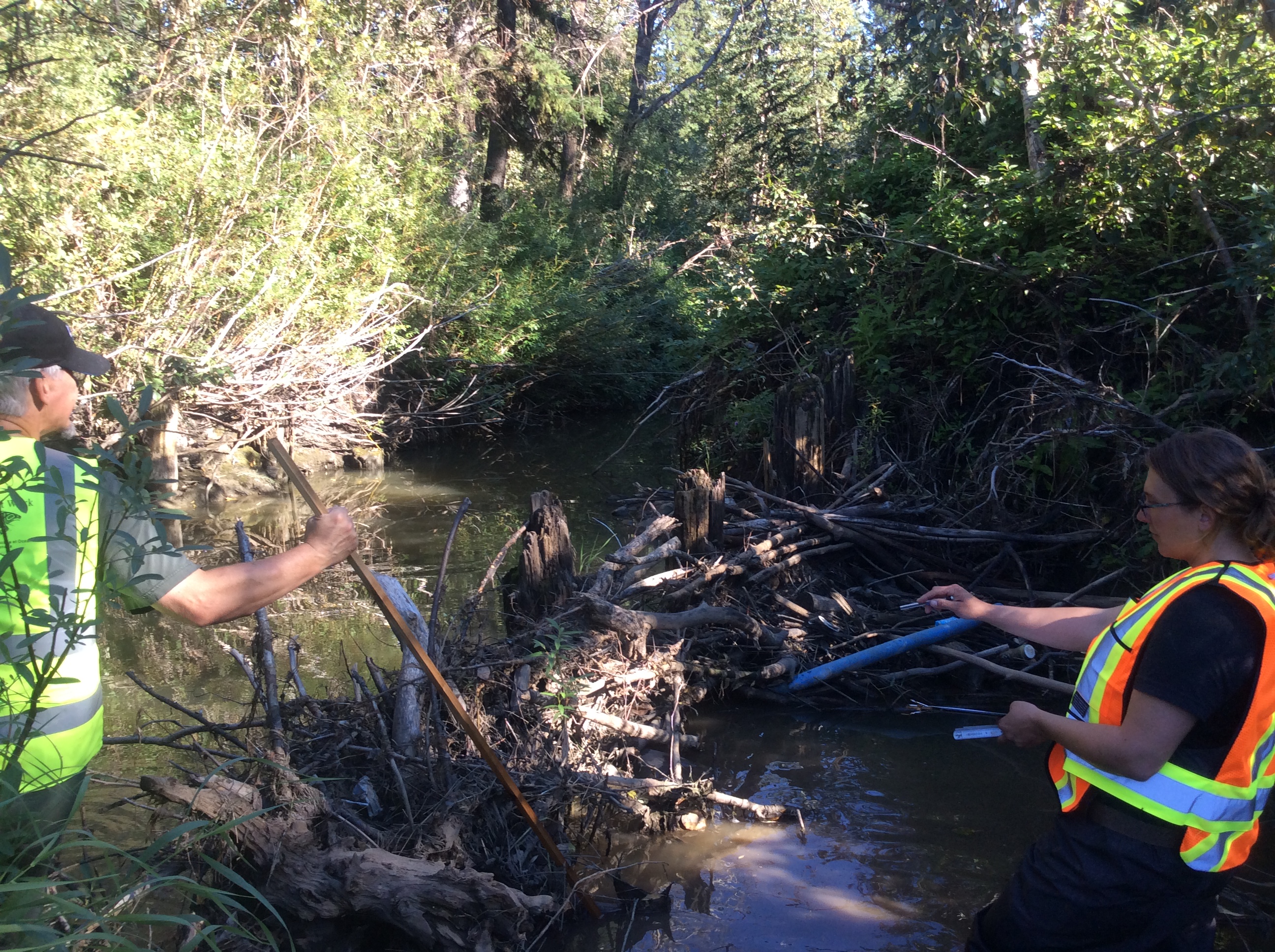
Deep pool 1.10 m deep. Overwintering habitat for fish. |
Action Items:
Mature trees, shade with willow and overhanging conifers. |
|
 |
ID
1273 |
Feature #
23 |
From Last
25 |
Type
Obstruction-Log Jam |
Size
6.4 m |
Bank
Across |
Adjacent Land Use
Parks |
Description:
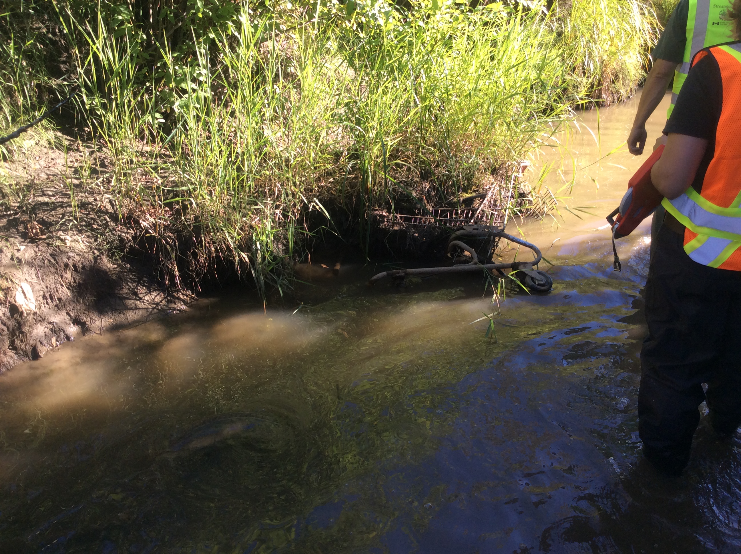
Old pilings/crossing with rafted debris. 6.4 m long x 0.70 m wide x 1.36 m high. |
Action Items:
|
|
 |
ID
1274 |
Feature #
24 |
From Last
18 |
Type
Bank Erosion |
Size
11.10 m |
Bank
Left |
Adjacent Land Use
Parks |
Description:
Undercut bank. 11.10 m long x 0.25 m deep at 90 degree slop |
Action Items:
|
|
 |
ID
1275 |
Feature #
25 |
From Last
23 |
Type
Bank Erosion |
Size
4.2 m |
Bank
Left |
Adjacent Land Use
Parks |
Description:
Undercut bank 4.2 m long x 0.33 m deep at 90 degree slope |
Action Items:
|
|
 |
ID
1276 |
Feature #
26 |
From Last
2 |
Type
GARBAGE |
Size
|
Bank
Left |
Adjacent Land Use
Parks |
Description:
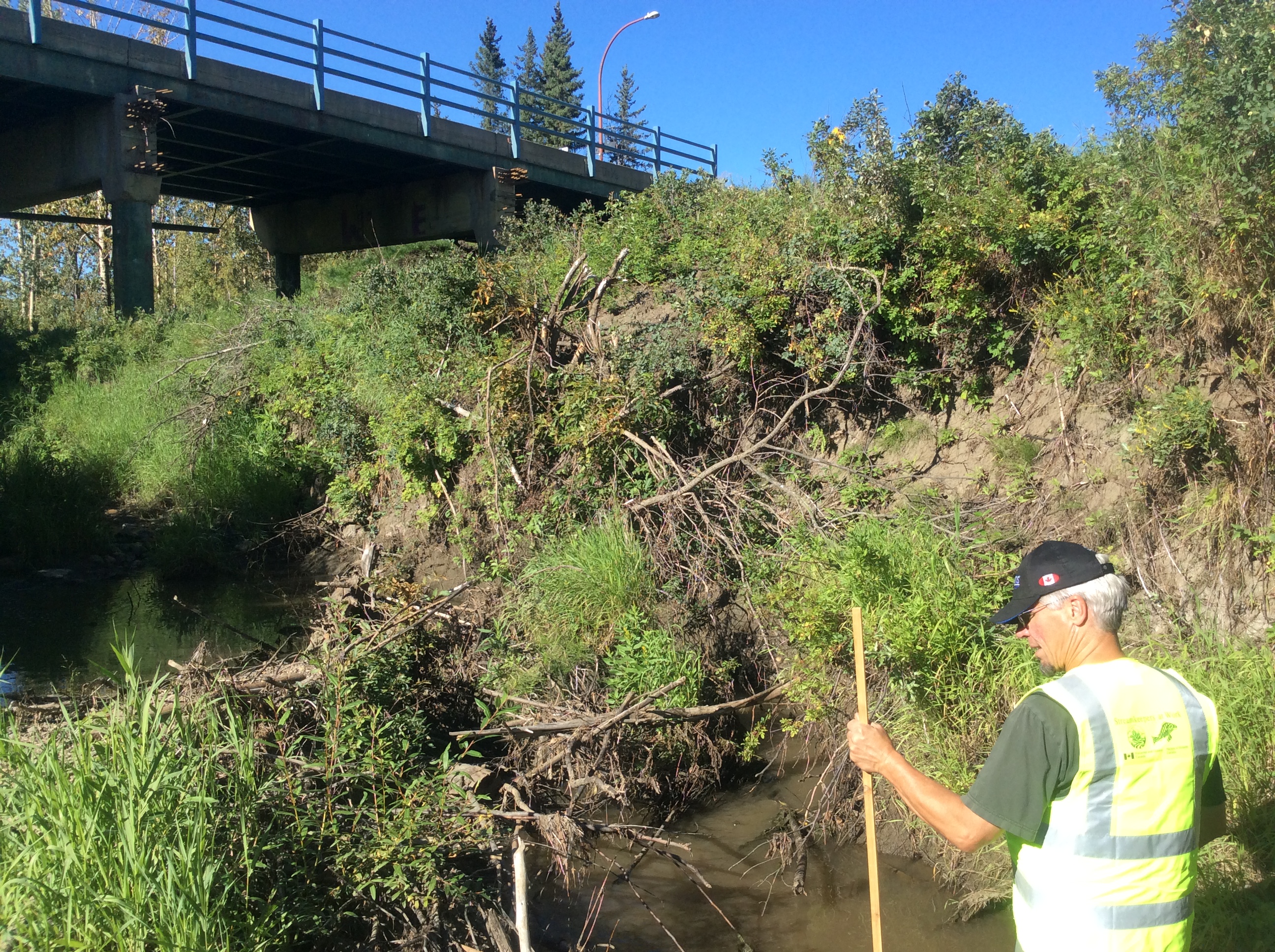
Shopping cart and tire |
Action Items:
|
|
 |
ID
1277 |
Feature #
27 |
From Last
7 |
Type
Bank Erosion |
Size
6.9 m |
Bank
Left |
Adjacent Land Use
Parks |
Description:
Slumping bank 6.9 m long x 0.90 m high at 90 degree slope. No large trees in slumping area. |
Action Items:
|
|
 |
ID
1278 |
Feature #
28 |
From Last
31 |
Type
GARBAGE |
Size
|
Bank
Both |
Adjacent Land Use
Parks |
Description:
Bike parts, rebar, pylons, computer/TV parts, cups, clothing |
Action Items:
Canada thistle, curly dock (invasive), yellow hawksbears, yellow thistle, milk thistle |
|
 |
ID
1279 |
Feature #
29 |
From Last
4 |
Type
Discharge Pipe-Storm Drain |
Size
0.35 m |
Bank
Right |
Adjacent Land Use
Parks |
Description:
Half culvert, drains parking lot adjacent to apartment buildings on 10th Street and some road runoff off of 10th Street. 0.4 m deep x 0.35 m high, no |
Action Items:
|
|
 |
ID
1280 |
Feature #
30 |
From Last
4 |
Type
Modification-Bridge |
Size
12 m |
Bank
Left |
Adjacent Land Use
Undisturbed |
Description:
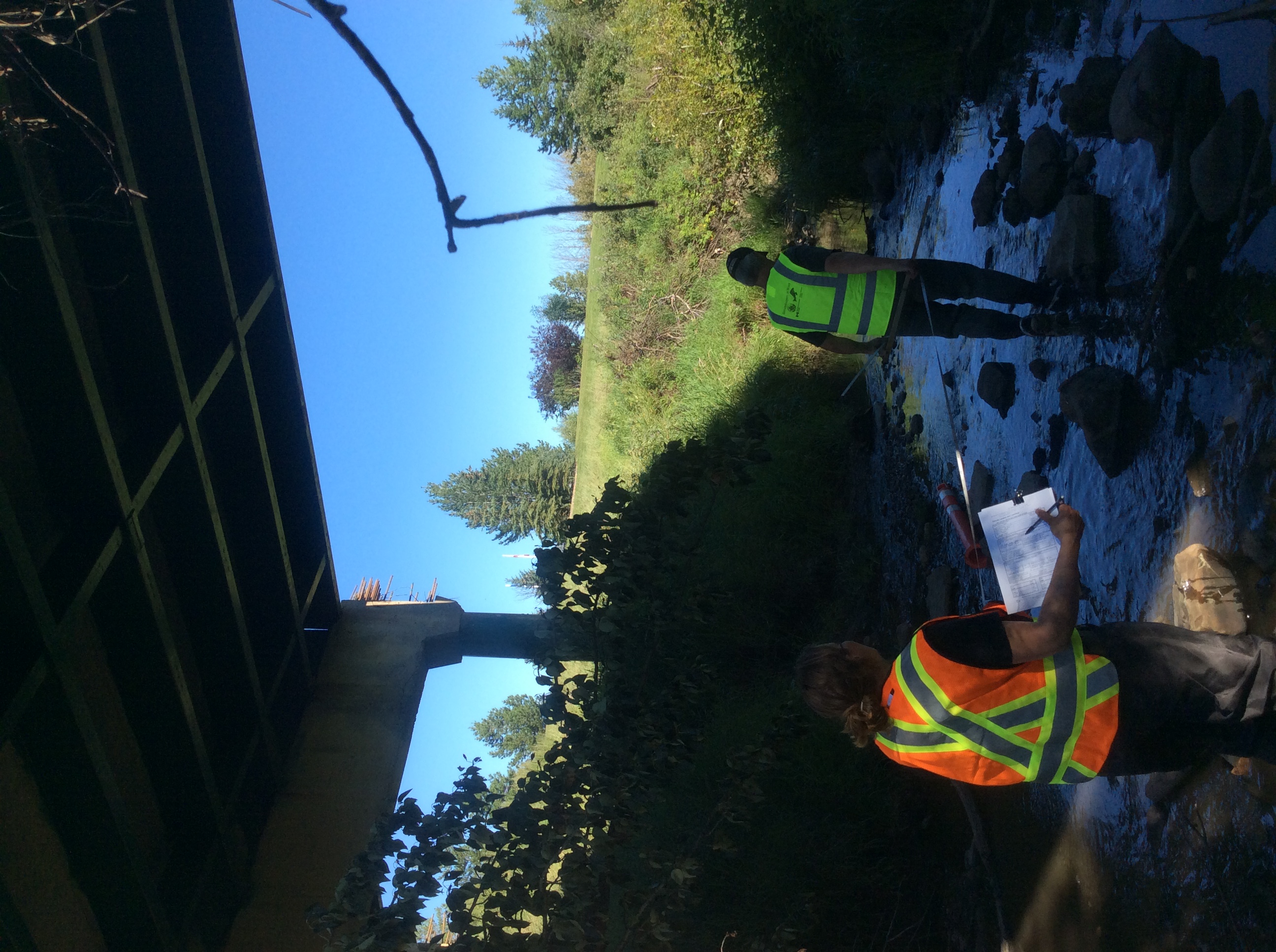
10th Street bridge. 10 m wide x 12 m long x 8 m high. Water depth under bridge = 0.07 m. Riffle present under bridge. |
Action Items:
Rusted storm water drain present, possibly entry point for salt into creek. Some erosion of rip-rap at base of bridge and bank erosion where no rip-ra |
|
 |
ID
1281 |
Feature #
31 |
From Last
4 |
Type
Obstruction-Beaver Dam |
Size
5.3 m |
Bank
Across |
Adjacent Land Use
Parks |
Description:
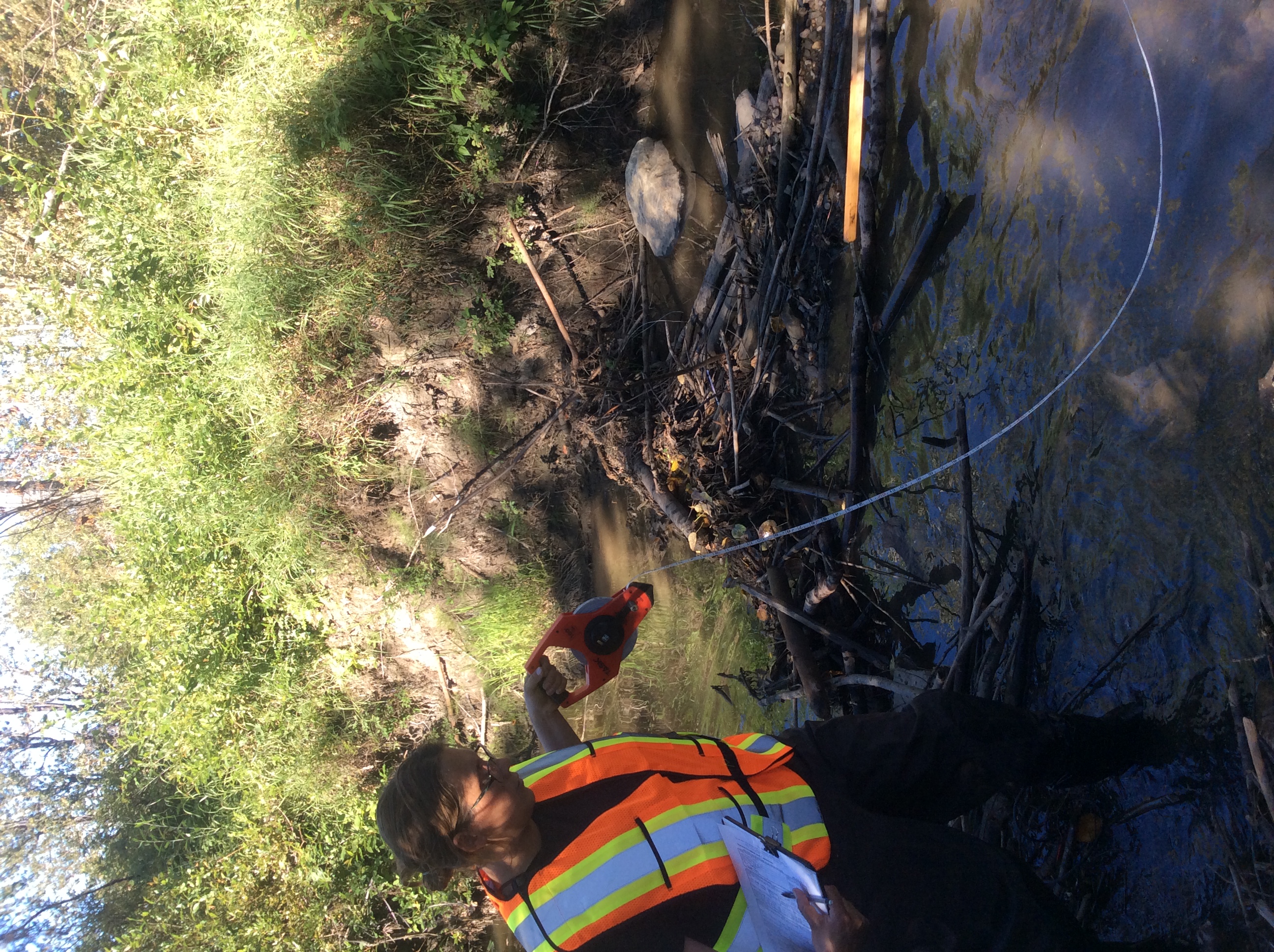
Beaver dam 5.3 m long x 0.5 m wide x 0.5 m high. Water depth at base = 0.3 m. Some garbage present within dam structure (sign, muffler). Cement in wat |
Action Items:
Garbage also present on banks - bikes, clothes, plastic bags. |
|