| Observation Number |
Feature Number |
Photo Taken |
Photo |
Upstream from last feature |
Feature Description |
Feature Detail |
Feature Size |
Bank Affected |
Adjacent Land Use |
Action Items |
| 1705 |
2 |
Yes |
 |
0 |
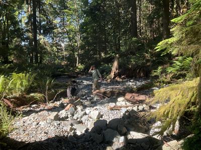
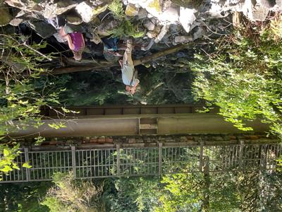
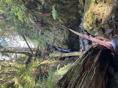
Enhancement-Log/Rock weir, Fishway |
Notched log weir across bankfull width, restoration structure for step pool creation. Length 0.6m, width 3.3m, height 0.2m, pool depth at base 13cmrnr |
|
Left |
Parks |
|
| 1706 |
3 |
Yes |
 |
0 |
Enhancement-Log/Rock weir, Fishway |
Notched log weir across bankfull width, restoration structure for step pool creation. Length 0.6m, width 3.3m, height 0.2m, pool depth at base 13cmrnr |
|
Left |
Parks |
|
| 1707 |
4 |
Yes |
 |
0 |
Enhancement-Log/Rock weir, Fishway |
Notched log weir across bankfull width, restoration structure for step pool creation. Length 0.6m, width 3.3m, height 0.2m, pool depth at base 13cmrnr |
|
Left |
Parks |
|
| 1708 |
5 |
No |
 |
0 |
Enhancement-Log/Rock weir, Fishway |
Notched log weir across bankfull width, restoration structure for step pool creation. Length 0.6m, width 3.3m, height 0.2m, pool depth at base 13cmrnr |
|
Left |
Parks |
|
| 1709 |
4 |
Yes |
 |
0 |
Enhancement-Log/Rock weir, Fishway |
Notched log weir across bankfull width, restoration structure for step pool creation. Length 0.6m, width 3.3m, height 0.2m, pool depth at base 13cmrnr |
|
Left |
Parks |
|
| 1710 |
7 |
Yes |
 |
0 |
Enhancement-Log/Rock weir, Fishway |
Notched log weir across bankfull width, restoration structure for step pool creation. Length 0.6m, width 3.3m, height 0.2m, pool depth at base 13cmrnr |
|
Left |
Parks |
|