Module 1 Observations and Action Items
| Stream Name | Survey Date | Organization | Project Name | Survey ID | Data Entered By |
| WINDEBANK CREEK | 2015-11-19 | Mission of Streams | Windebank Monitoring | 84 | DU |
| Observation Number | Feature Number | Photo Taken | Photo | Upstream from last feature | Feature Description | Feature Detail | Feature Size | Bank Affected | Adjacent Land Use | Action Items |
| 1117 | 21 | Yes |
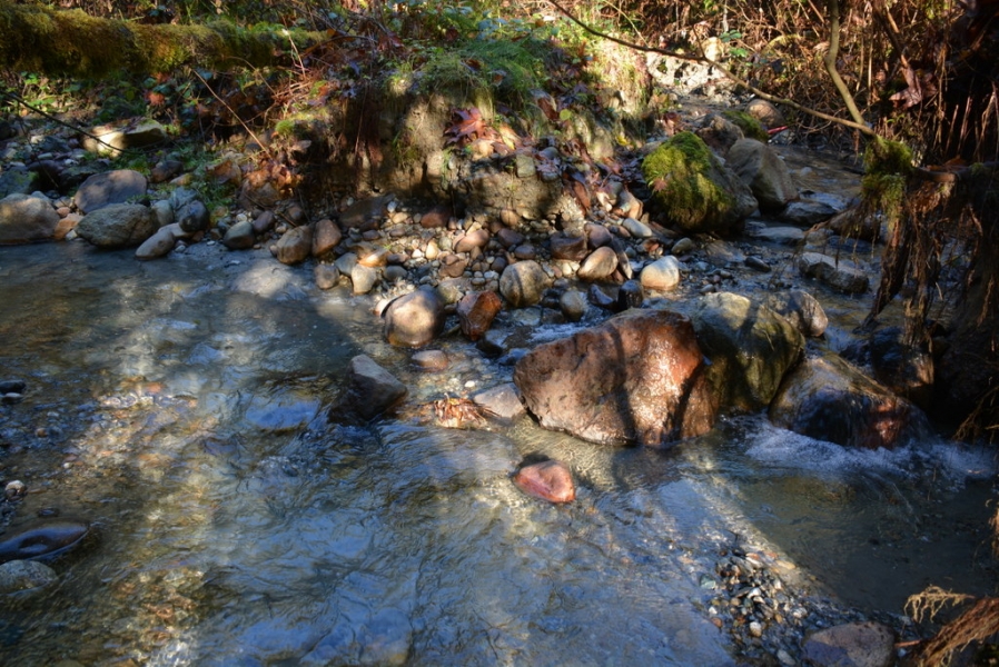 |
Not Collected | WATERBODY-Tributary, wetland, ditch, other | Stream forks into 2 before reaching 7th Ave. End of survey on Nov 19, 2015 | Not Collected | Both | Residential | High steep exposed banks with large areas of slumping visible on both forks. |
Records 21 to 21 of 21